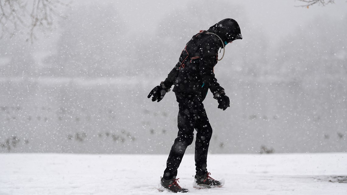

After last weekend’s snow in the Denver area, it looks like we will have another snowy Saturday ahead along the urban corridor.
DENVER — Last year, it was weather Wednesday. This year, it’s snowy Saturday.
Another Saturday snowstorm could disrupt travel along the I-25 urban corridor this weekend, with a few inches of snow looking likely across northeastern Colorado between Friday night and Sunday morning.
While the forecast (once again) has a lot of challenges, it looks like this weekend’s storm is trending colder than last weekend’s, when anywhere from 3 to 19 inches of heavy, wet snow fell across the heart of the metro area. That could mean another round of impactful snow across northeastern Colorado, including Denver.
A storm system pushing in from the southwest will bring snow first into the high country, then likely down into the Denver metro area. The snow could start as Friday afternoon, but the steadier, heavier snow looks most likely Friday night and into the day on Saturday.
However, localized bands of heavier snow will likely set up, potentially creating a big spread in snowfall totals over a relatively small distance. The jet stream – a narrow ribbon of strong winds about 30,000 feet above the surface that dictates much of our weather – will be overhead on Friday night and Saturday. That’ll mean a high potential for localized bands of heavier snow as a result.
Unlike last week’s storm, this one looks likely to remain as all snow thanks to a cold front that’ll move through Friday evening. That’ll drop temperatures and bring an initial push of snow on Friday night.
After perhaps a brief break, another push of colder air likely arrives some time Saturday morning. That’ll lead to our steadier snow throughout most of the day on Saturday.
The snow likely ends on Saturday night or Sunday morning.
Snow totals are still somewhat in question depending on those localized bands, but this storm will likely require snow shovels to dig out from. Some computer forecast models are showing more than 6 inches of snowfall in the Denver area, but right now, this looks like more of a medium-sized type of storm for most of the metro area – think 2-to-4 or 3-to-6 inches.
That said, there’s still plenty of time for those numbers to adjust. We’ll keep you posted with the latest, as always.
There will also, again, likely be some localized bands with the potential for 6 or more inches’ worth of accumulation. It’s still too early to say where those bands might end up.
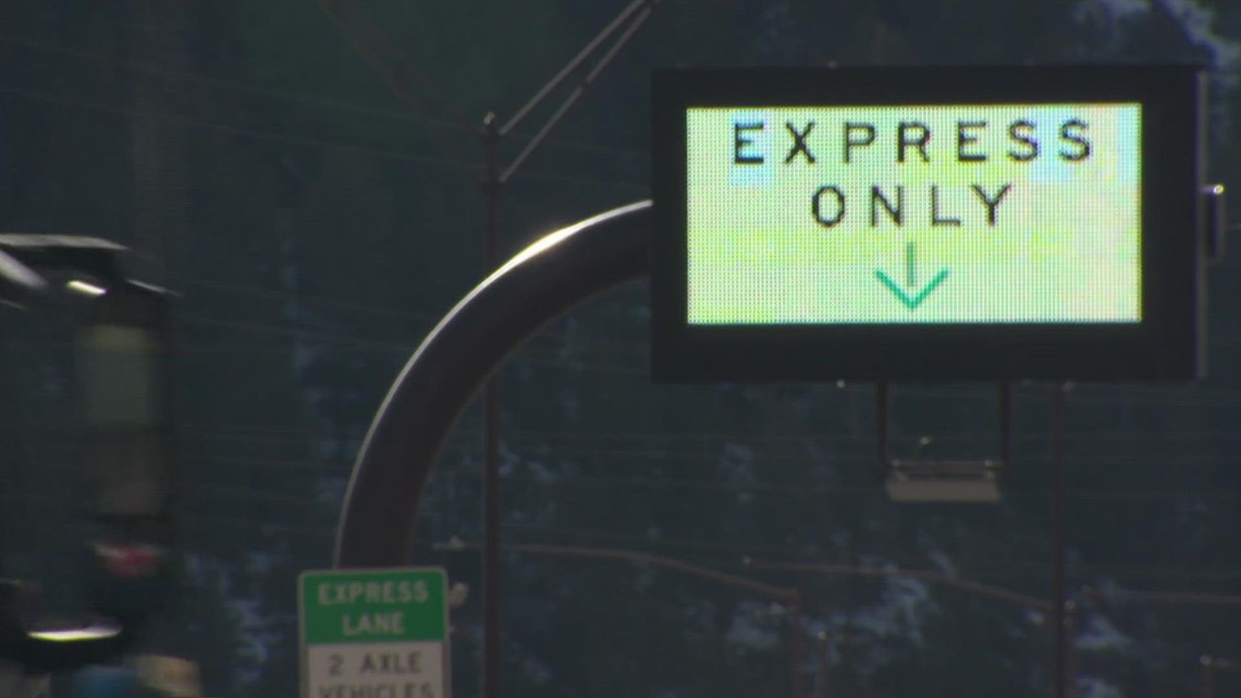
Expect travel impacts in the Denver metro area starting on Friday night – this could affect ski traffic on Friday, for example – and throughout the day on Saturday.
Clearing skies by Sunday should allow temperatures to quickly rebound back into the 40s and 50s, which should help melt this weekend’s snow fairly quickly.
Stay with 9NEWS for the latest on this potentially impactful snowstorm this weekend.